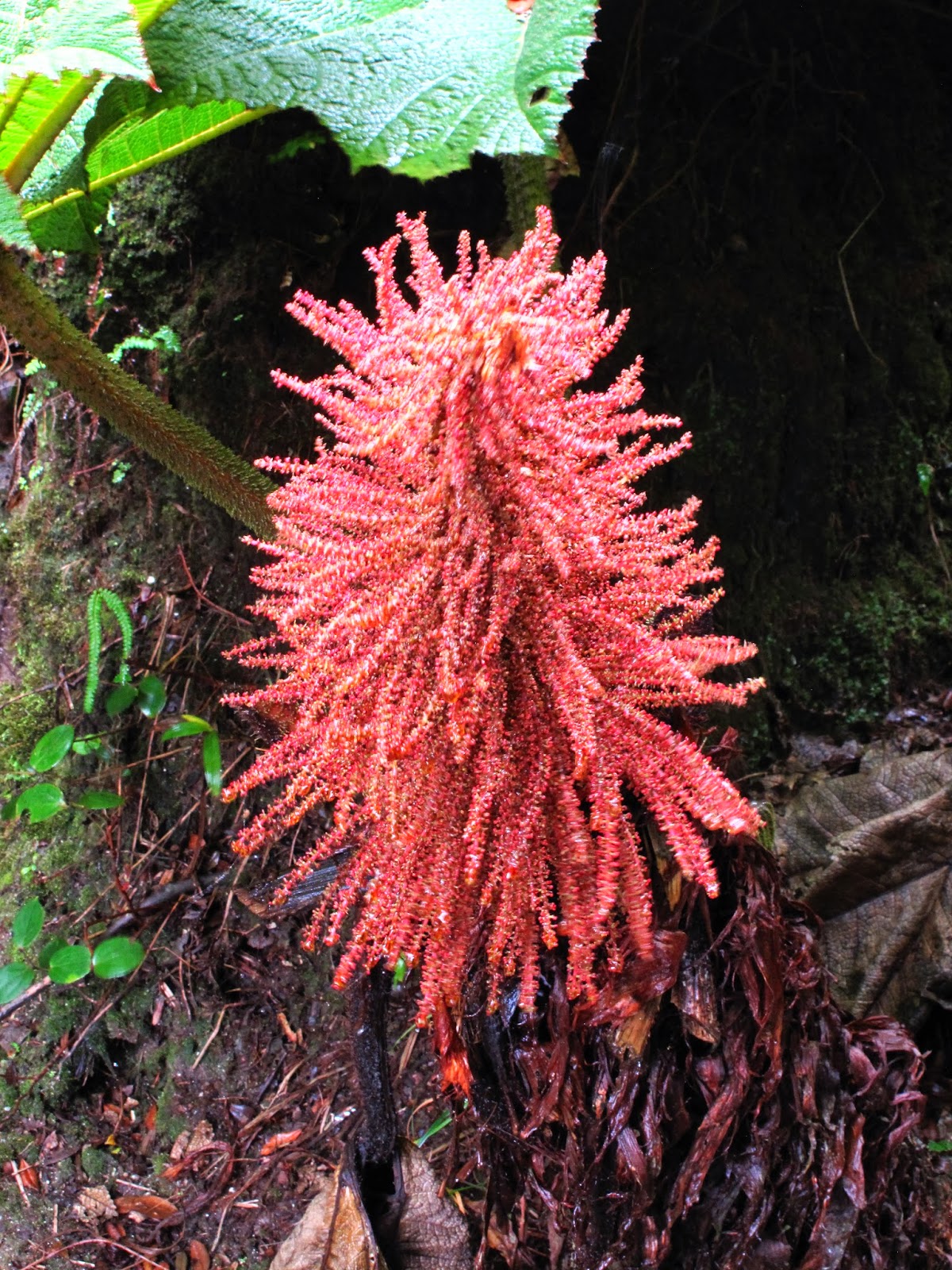
The Everglades National Park (Miami, Florida): Everglades National Park encompasses 1.5 million acres of tropical and subtropical habitat with one of the world’s most diverse ecosystems. The park has been designated as an International Biosphere Reserve, a Wetland of International Importance and a World Heritage Site. The Florida Everglades are home to a diverse array of wildlife within the park’s five different habitats: the Hammock, Mangrove, Pineland, Sawgrass, and Slough. Notable Everglades animals include tree frogs, alligators, the American crocodile, manatee, Key deer, otters, and the Florida panther. The park is located along avian migratory routes, so birding is also a popular activity.


----------------------------------------------------------------------------------
Florida Keys (The Keys, Florida): The Florida Keys are a coral cay archipelago in the southeast United States. They begin at the southeastern tip of the Florida peninsula, about 15 miles (24 km) south of Miami, and extend in a gentle arc south-southwest and then westward to Key West, the westernmost of the inhabited islands, and on to the uninhabited Dry Tortugas. The islands lie along the Florida Straits, dividing the Atlantic Ocean to the east from the Gulf of Mexico to the west, and defining one edge of Florida Bay. At the nearest point, the southern tip of Key West is just 90 miles (140 km) from Cuba. The Florida Keys are between about 23.5 and 25.5 degrees North latitude, in the subtropics.


----------------------------------------------------------------------------------
Peninsula De Hicados (Varadero, Cuba): Hicacos is a peninsula on Cuba's northern shore, in the province of Matanzas. The resort town of Varadero is located on the peninsula. The name comes from a species of cactus. It is located between the Bay of Cárdenas and the Nicholas Channel of the Atlantic Ocean, and its extremity (Punta Hicacos) constitutes the northern most point of the island of Cuba. It has a length of 18 kilometres (11 mi) and its width varies between 0.5 km (0.31 mi) and 2.5 km (1.6 mi). The cays developed off shore, such as Cayo Piedras and Cayo Cruz del Padre are the western most part of the Sabana-Camaguey Archipelago.


----------------------------------------------------------------------------------
Playa Los Cocos (Cuba): Playa los Cocos is located (2 mi) west to Playa Santa Lucía, next to the fishing village of La Boca. This idyllic swath of sun-bleached silica slopes into aquamarine waters at the mouth of the Bahía de Nuevitas, and is shaded by abundant cocos (coconut palms), hence its name. The lagoon behind La Boca is a feeding area for flamingos, which you may be able to spot.


----------------------------------------------------------------------------------
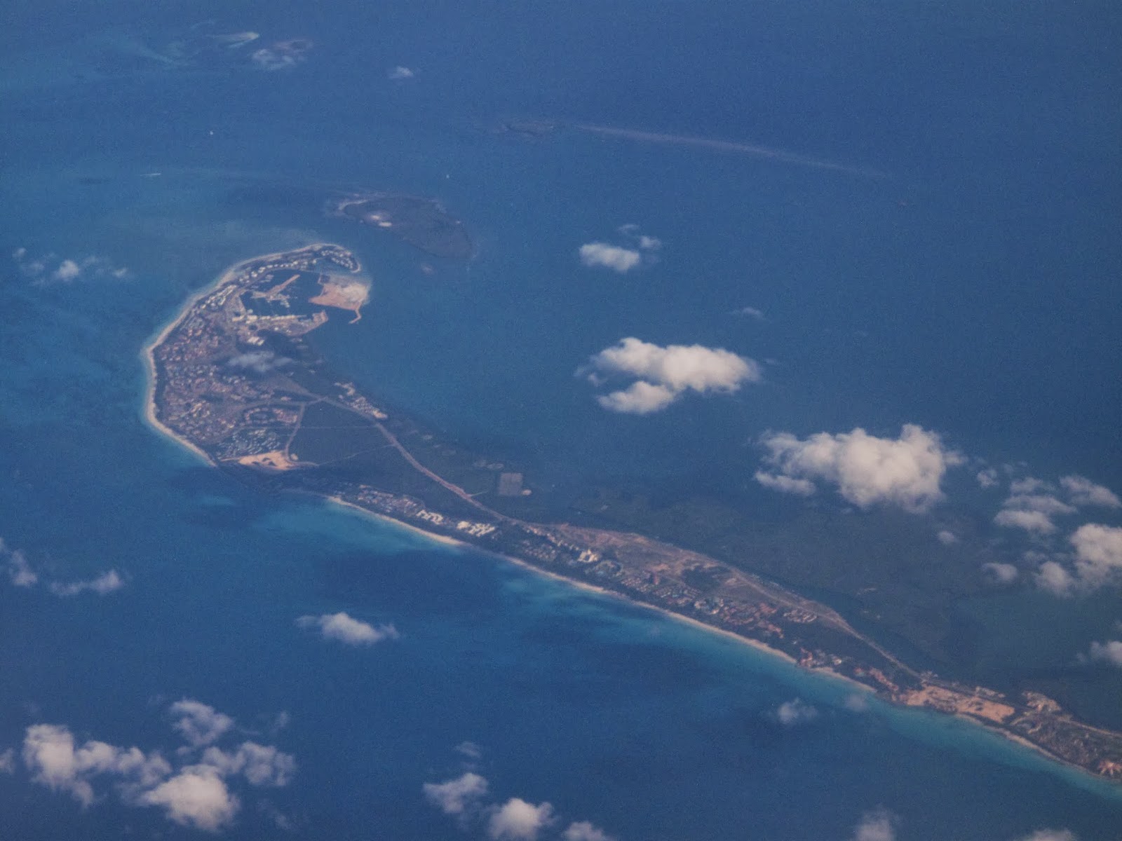
Grand Cayman Island (Grand Cayman, W.I.): Grand Cayman is the largest of the three Cayman Islands and the location of the territory's capital, George Town. In relation to the other two Cayman Islands, it is approximately 75 miles (121 km) southwest of Little Cayman and 90 miles (145 km) southwest of Cayman Brac. Grand Cayman encompasses 76% of the territory's entire land mass. The island is approximately 22 miles (35 km) long with its widest point being 8 miles (13 km) wide. The elevation ranges from sea level at the beaches to 60 feet(18 m)above sea level on the North Side.


 ----------------------------------------------------------------------------------
Florida Keys (The Keys, Florida): The Florida Keys are a coral cay archipelago in the southeast United States. They begin at the southeastern tip of the Florida peninsula, about 15 miles (24 km) south of Miami, and extend in a gentle arc south-southwest and then westward to Key West, the westernmost of the inhabited islands, and on to the uninhabited Dry Tortugas. The islands lie along the Florida Straits, dividing the Atlantic Ocean to the east from the Gulf of Mexico to the west, and defining one edge of Florida Bay. At the nearest point, the southern tip of Key West is just 90 miles (140 km) from Cuba. The Florida Keys are between about 23.5 and 25.5 degrees North latitude, in the subtropics.
----------------------------------------------------------------------------------
Florida Keys (The Keys, Florida): The Florida Keys are a coral cay archipelago in the southeast United States. They begin at the southeastern tip of the Florida peninsula, about 15 miles (24 km) south of Miami, and extend in a gentle arc south-southwest and then westward to Key West, the westernmost of the inhabited islands, and on to the uninhabited Dry Tortugas. The islands lie along the Florida Straits, dividing the Atlantic Ocean to the east from the Gulf of Mexico to the west, and defining one edge of Florida Bay. At the nearest point, the southern tip of Key West is just 90 miles (140 km) from Cuba. The Florida Keys are between about 23.5 and 25.5 degrees North latitude, in the subtropics.


 ----------------------------------------------------------------------------------
Peninsula De Hicados (Varadero, Cuba): Hicacos is a peninsula on Cuba's northern shore, in the province of Matanzas. The resort town of Varadero is located on the peninsula. The name comes from a species of cactus. It is located between the Bay of Cárdenas and the Nicholas Channel of the Atlantic Ocean, and its extremity (Punta Hicacos) constitutes the northern most point of the island of Cuba. It has a length of 18 kilometres (11 mi) and its width varies between 0.5 km (0.31 mi) and 2.5 km (1.6 mi). The cays developed off shore, such as Cayo Piedras and Cayo Cruz del Padre are the western most part of the Sabana-Camaguey Archipelago.
----------------------------------------------------------------------------------
Peninsula De Hicados (Varadero, Cuba): Hicacos is a peninsula on Cuba's northern shore, in the province of Matanzas. The resort town of Varadero is located on the peninsula. The name comes from a species of cactus. It is located between the Bay of Cárdenas and the Nicholas Channel of the Atlantic Ocean, and its extremity (Punta Hicacos) constitutes the northern most point of the island of Cuba. It has a length of 18 kilometres (11 mi) and its width varies between 0.5 km (0.31 mi) and 2.5 km (1.6 mi). The cays developed off shore, such as Cayo Piedras and Cayo Cruz del Padre are the western most part of the Sabana-Camaguey Archipelago.


 ----------------------------------------------------------------------------------
Playa Los Cocos (Cuba): Playa los Cocos is located (2 mi) west to Playa Santa Lucía, next to the fishing village of La Boca. This idyllic swath of sun-bleached silica slopes into aquamarine waters at the mouth of the Bahía de Nuevitas, and is shaded by abundant cocos (coconut palms), hence its name. The lagoon behind La Boca is a feeding area for flamingos, which you may be able to spot.
----------------------------------------------------------------------------------
Playa Los Cocos (Cuba): Playa los Cocos is located (2 mi) west to Playa Santa Lucía, next to the fishing village of La Boca. This idyllic swath of sun-bleached silica slopes into aquamarine waters at the mouth of the Bahía de Nuevitas, and is shaded by abundant cocos (coconut palms), hence its name. The lagoon behind La Boca is a feeding area for flamingos, which you may be able to spot.


 ----------------------------------------------------------------------------------
Grand Cayman Island (Grand Cayman, W.I.): Grand Cayman is the largest of the three Cayman Islands and the location of the territory's capital, George Town. In relation to the other two Cayman Islands, it is approximately 75 miles (121 km) southwest of Little Cayman and 90 miles (145 km) southwest of Cayman Brac. Grand Cayman encompasses 76% of the territory's entire land mass. The island is approximately 22 miles (35 km) long with its widest point being 8 miles (13 km) wide. The elevation ranges from sea level at the beaches to 60 feet(18 m)above sea level on the North Side.
----------------------------------------------------------------------------------
Grand Cayman Island (Grand Cayman, W.I.): Grand Cayman is the largest of the three Cayman Islands and the location of the territory's capital, George Town. In relation to the other two Cayman Islands, it is approximately 75 miles (121 km) southwest of Little Cayman and 90 miles (145 km) southwest of Cayman Brac. Grand Cayman encompasses 76% of the territory's entire land mass. The island is approximately 22 miles (35 km) long with its widest point being 8 miles (13 km) wide. The elevation ranges from sea level at the beaches to 60 feet(18 m)above sea level on the North Side.


